Left: Ray-Cast Side Profile | Right: Orthographic Surface Coverage Mesh
TOTAL INSTRUMENT COVERAGE FOOTPRINT AREA
150,230,500
SQUARE KILOMETERS ($KM^2$)
Horizon Footprint Track Width Arc (d)0 KM
Geographical Global Earth Coverage Fraction0.00%
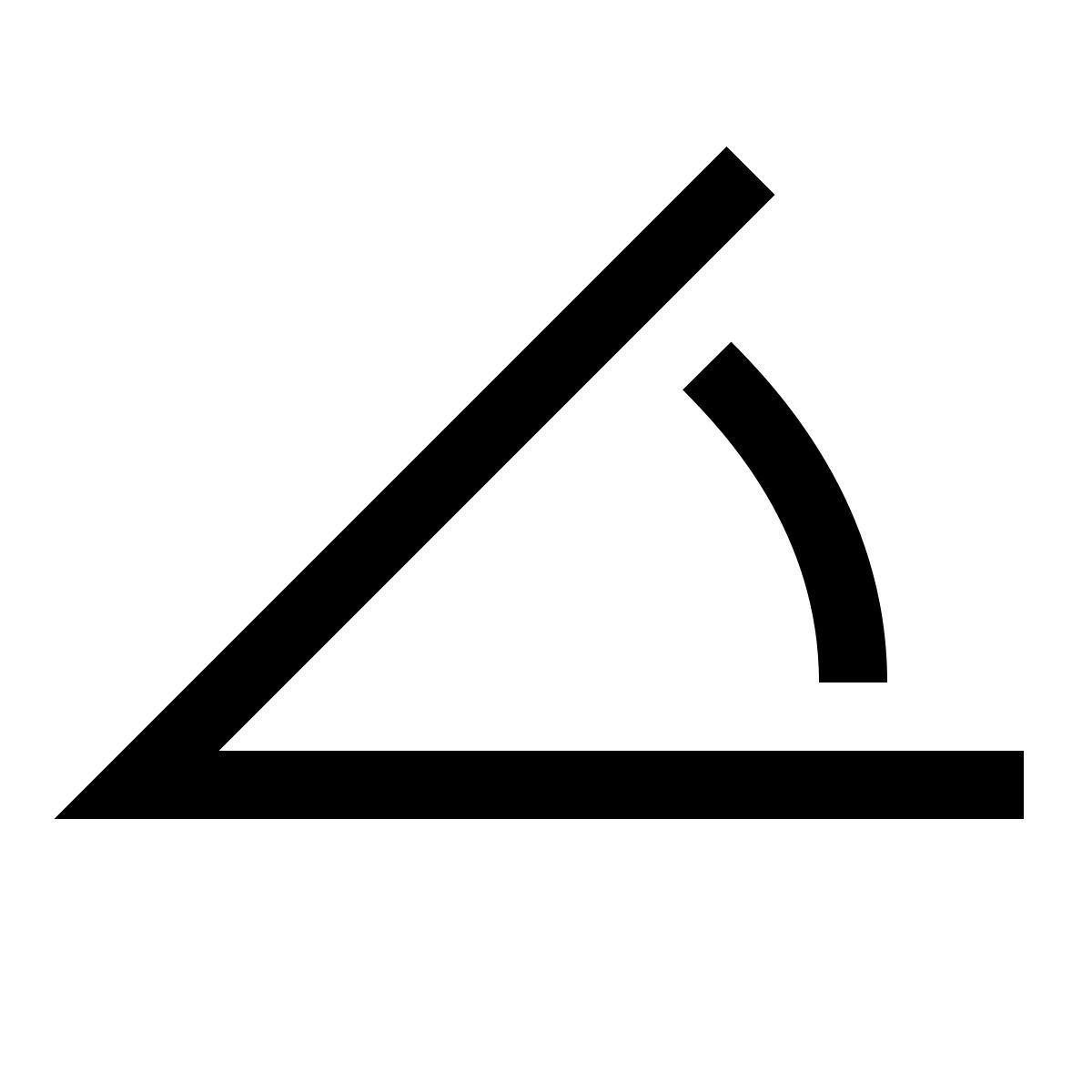
Tangential Slant Range Elevation Angle (Varepsilon)0.00°
NEW HORIZONS NAVIGATION EQUIPMENT • HIGH-FIDELITY COVERAGE ARRAY 2026
Space Sat-1
The Orbital Backbone. A satellite is a Relay Point in the void. It translates the laws of physics into the reality of global connectivity and planetary defense.
🔋Solar Powered: Harvesting 100% of energy from the Sun.
🌍Remote Sensing: Watching the pulse of Earth's climate.
📡Data Link: Connecting the world via microwave signals.
🛰️
TELEMETRY ACTIVE
v 7.8 km/s
ALTITUDE: ✅ 550 KM
SIGNAL-LOCK: LEO-1 ✅
Footprint
The Reach of the Beam. Coverage is the Intersection of Geometry and Power. It defines who is connected and who remains in the "dead zone" of the digital divide.
🔦Beam Width: Narrow beams for high speed; wide beams for broad reach.
🛰️Handover: LEO satellites "hand off" your signal as they zoom past.
⛰️Terrain Masking: Physical obstacles are the enemies of coverage.
🗺️
SIGNAL ANALYSIS
COVERAGE: 94%
SPOT BEAM: ✅ ACTIVE
FOOTPRINT-LOCK ACTIVE ✅
Vector Utility
The Global Safety Net. We use satellite coverage because it is the only Universal Infrastructure. It turns the entire planet into a single, reachable node.
🚢Maritime Logic: Connectivity for the 70% of Earth that is water.
🆘Reliability: The network that survives when the ground breaks.
🛰️Synchronization: Keeping the world’s clocks and GPS in perfect lock.