Tidal Wave height
TIDAL WAVE HEIGHT
SHOALING • RUN-UP • TSUNAMI
7.2 m
4.0×
Significant
OCEAN DYNAMICS • WAVE MATRIX 2026
The Tidal Misnomer
Scientific Distinction. While historically referred to as "tidal waves," massive seismic sea waves are completely unrelated to lunar or solar gravitational tides.
Core Principle: These extreme height events are driven by sudden, high-volume water displacement from earthquakes, volcanic eruptions, or landslides rather than daily tidal cycles.
- 🌊 Unrelated to gravitational tides.
- ⚡ Triggered by seismic displacement.
Open Ocean Scale
Low Profile at Sea. In the deep open ocean, a severe displacement wave may have a wavelength stretching hundreds of kilometers, yet its vertical height from trough to crest is often less than a meter.
Imperceptible Motion: Because of this massive wavelength, ships passing overhead generally do not even notice the wave passing beneath them.
- 🚢 Undetectable to ships at sea.
- 📏 Less than 1 meter tall offshore.
Shoaling Physics
Energy Compression. As high-speed displacement waves enter shallower coastal waters, friction with the seafloor slows their forward velocity drastically.
Height Surge: To conserve total wave energy, the compressed water volume is forced upward, transforming an imperceptible deep-ocean swell into a towering wall of water.
- 📉 Forward velocity drops near shore.
- 📈 Wave height multiplies exponentially.
Run-Up Limits
Destructive Vertical Scale. When extreme tsunamis strike coastal zones, their maximum run-up height (the vertical distance the water climbs above normal sea level) frequently exceeds 10 to 30 meters.
Topographic Amplification: V-shaped bays, funnel-like harbors, and steep coastal cliffs can concentrate wave energy, driving water heights even higher inland.
- 🏔️ Common run-ups of 10 to 30 meters.
- ⚠️ Funneling effects in coastal bays.
Lituya Bay Record
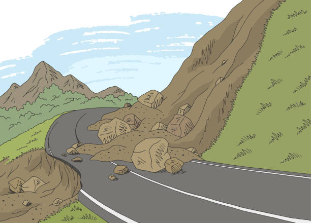
The Ultimate Mega-Wave. On July 9, 1958, a massive earthquake triggered a catastrophic rockslide into the confined waters of Lituya Bay, Alaska.
Unprecedented Height: The resulting impact sent a colossal megatsunami splashing up the opposite shoreline to a staggering high-water mark of 524 meters (1,722 feet), setting the absolute world record for wave height.
- 💥 1958 Alaskan rockslide event.
- 🌲 524-meter (1,722 ft) run-up mark.
Wave Front Shape
Not a Curled Surf Wave. Popular culture often portrays displacement waves as massive breaking surf. In reality, most arrive as a rapidly rising, incredibly forceful flood or a turbulent bore.
Inundation Dynamics: The water surface remains relatively flat horizontally, surging inland with immense volume and speed rather than curling over like an ocean breaker.
- 🌊 Behaves like a rapidly rising tide.
- ⚡ Massive volume surge rather than surf.
Coastal Defense
Natural Barriers. The final height of a wave at the shoreline depends heavily on local underwater topography (bathymetry) and coastal features.
Reef Absorption: Healthy coral reefs and shallow continental shelves act as natural shock absorbers, breaking up incoming wave energy and significantly reducing final inundation heights.
- 🪸 Coral reefs absorb wave energy.
- 🗺️ Seafloor bathymetry shapes impact.
Early Warning
Deep-Ocean Sensors. Modern tsunami warning networks utilize deep-ocean pressure sensors (DART buoys) combined with seismic monitors to measure wave height and velocity in real time.
Mitigation: Accurate data collection allows meteorological agencies to forecast wave arrival times and height impacts, giving coastal communities vital minutes to evacuate to high ground.
- 🛰️ Real-time DART buoy detection.
- 🚨 Evacuation timing and safety maps.
Recommended Tools
View AllLoading recommended tools...